ROV
ROV
Underwater ROVs
X7
X3 Ultra
X1
Accessories
Payloads
Webshop
Use cases
Use cases
Aquaculture
Defence
Shipping
Inspection Services
Research
Search and recovery
Construction
Ports and marinas
Offshore
Water and energy
Tourism
Border control
Technology
Apps and software
The Blueye SDK
Live Video Streaming
Mission Planning
Blueye Cloud
Services
Service and repair
Course
Resources
Articles
Events
FAQ
Webinars
Blueye Explains Videos
About us
Our story
Jobs & career
Press
Become a partner
Contact
Support
EN
Contact
Open main menu
ROV
ROV
Underwater ROVs
Underwater ROVs
X7
X3 Ultra
X1
Accessories
Payloads
Webshop
Use cases
Use cases
Aquaculture
Defence
Shipping
Inspection Services
Research
Search and recovery
Construction
Ports and marinas
Offshore
Water and energy
Tourism
Border control
Technology
Apps and software
The Blueye SDK
Live Video Streaming
Mission Planning
Blueye Cloud
Services
Service and repair
Course
Resources
Articles
Events
FAQ
Webinars
Blueye Explains Videos
About us
Our story
Jobs & career
Press
Become a partner
Contact
Support
EN
404 - Page Not Found
We're sorry but we could not find the page you where looking for. Don't worry and keep exploring!
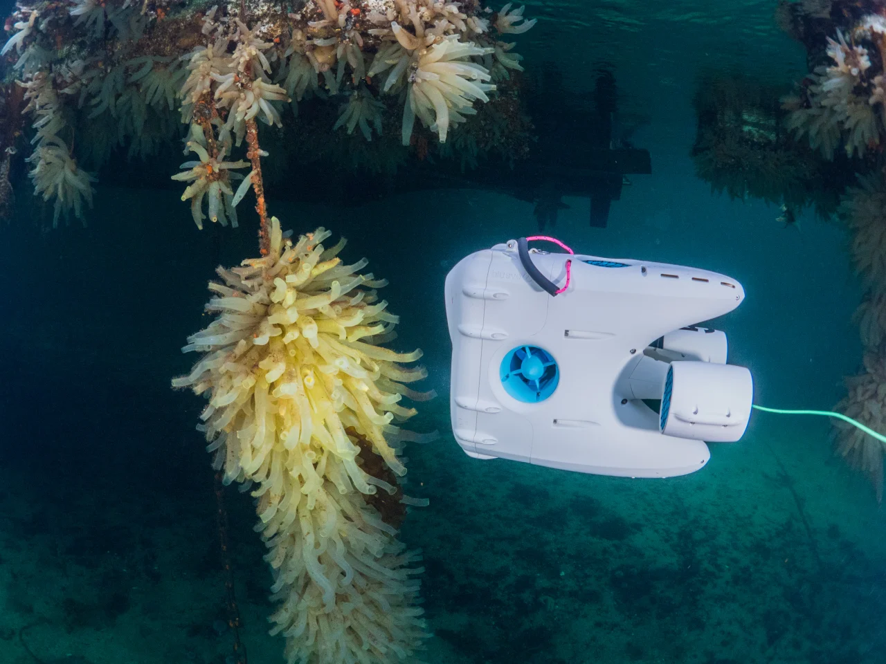
Pioneer drone exploring Kvenvær marina