Locating the pipelines using the boat's navigation system and a multibeam sonar
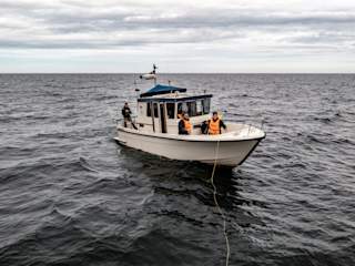
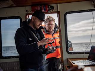
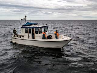
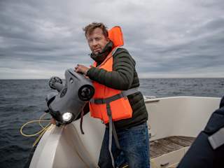
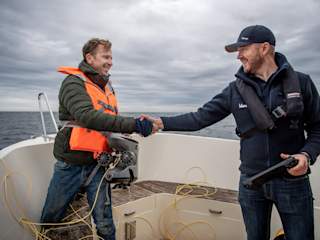
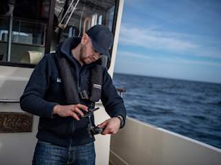
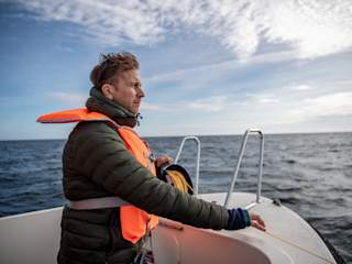
Trond Larsen and a crew from Expressen made the first time down to the Nord Stream pipelines in a rented 29 ft Targa, including a Captain. The weather could have been better, and the time frame to capture the visuals was short.
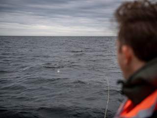
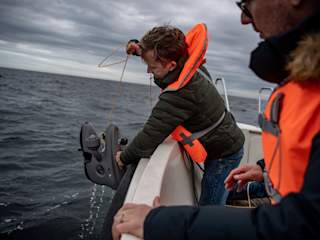
Since the coordinates from the blast site are public, and the pipes are drawn onto sea charts, locating the site for the mission was easy using the navigation system onboard the boat. When arriving on site, the boat echosounder was used to look for deviations on the sea floor. Within a short time, a few points with depressions and protrusions from the sea floor were marked, and the ROV was launched over the railing.

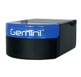
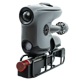
For the second trip down to the Baltic Sea, we equipped one of the ROVs with a high-end sonar enabling quicker target identification and easier mapping of the area.

The first time, we just used visual clues and the compass on the drone to locate any changes to the sea floor and - after a while - a piece of the pipe itself. The second time we had a high-end sonar on the Blueye X3, and with the range of 120 m, we could locate the pipe sections within seconds. It was a matter of minutes from the time that the drone was deployed until we arrived at one of the pipe pieces with visual confirmation.
- Trond Larsen, Technical Sales Engineer at Blueye Robotics.

Equipent on ROV 1
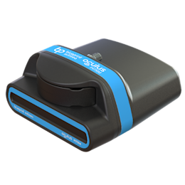
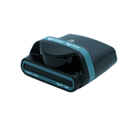
- Oculus m750d multibeam sonar (navigation and identification of the pipelines using a sonar viewer)
- Waterlinked uGPS (for positioning of the ROV)
Equipment on ROV 2
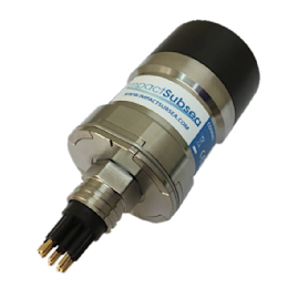
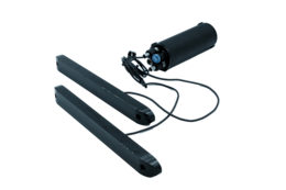
- ISS360 scanning sonar (navigation and target identification)
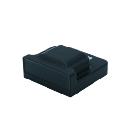
- Waterlinked DVL (positioning of the ROV and control modes to lock position above seafloor)
- Reach Alpha gripper (to pick up any debries)
Low visibility and challenging conditions
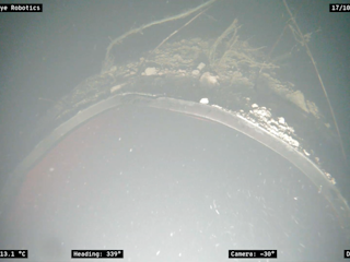
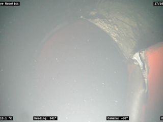
With 1-2 m visibility horizontally and, even worse, vertically, the ROV had to be positioned between 20-50 cm above the seafloor to see the bottom. Getting lower whirled up loose sediments, and at higher positions, one lost visuals of the seafloor.
The Blueye ROVs have internal position-hold systems relative to the depth and heading using the IMU and compass. Thus, by connecting a Waterlinked DVL A50 to the unit, the X3 ROV can lock its position relative to the seafloor. With great help from the DVL and the control mode "station keeping", Trond Larsen could maintain the ROV in the small gap with better visibility, let go of the controller sticks and focus on capturing the images of the damaged pipeline.
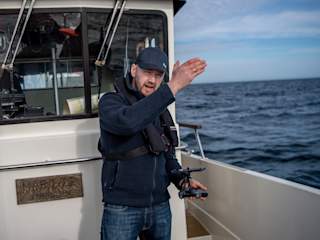
Watch the video below to see Trond Larsen commenting on the video he captured during his trip with Expressen.
Sonar imagery revealing a much larger impacted area
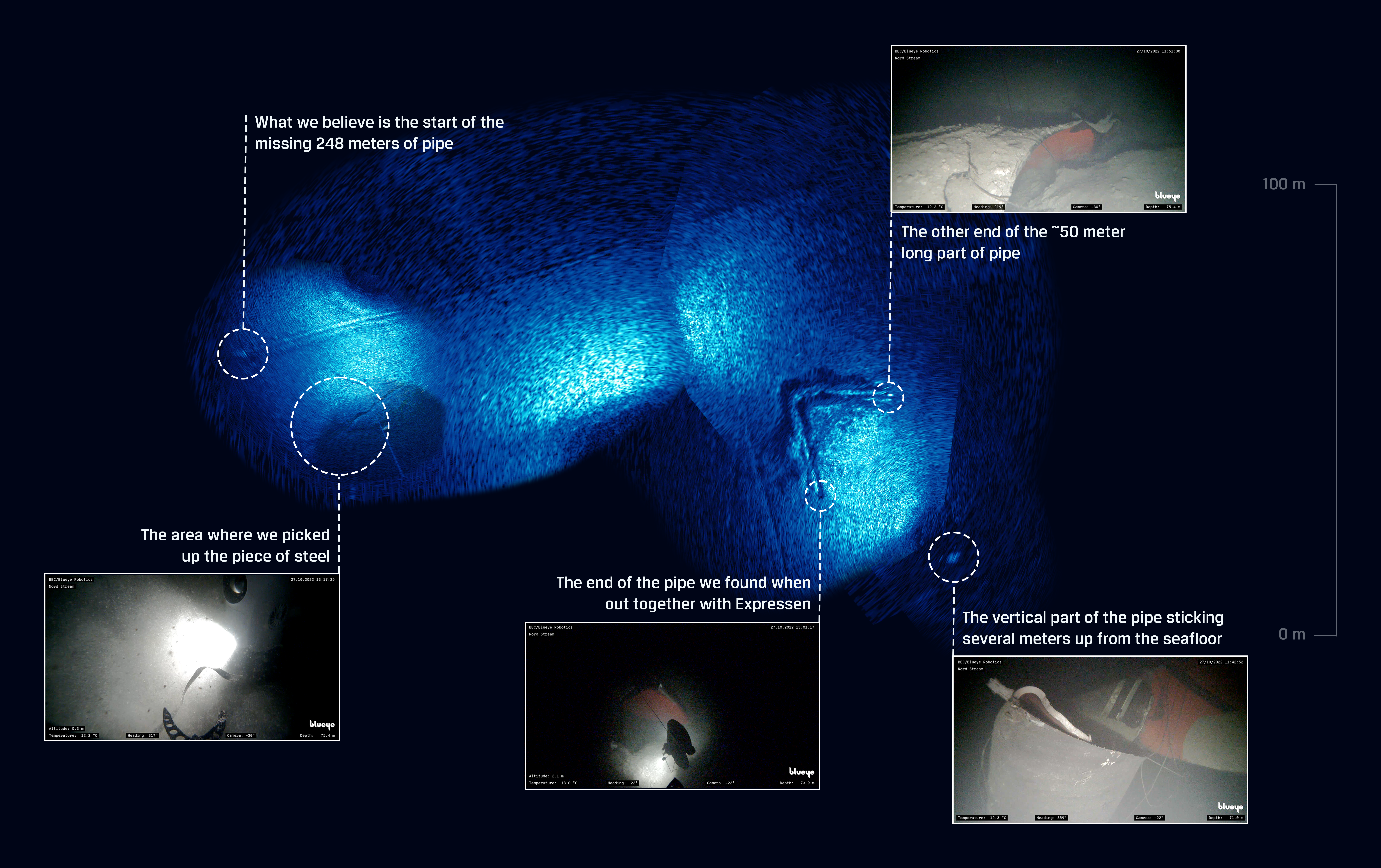
During the first dive with Expressen, the ROV camera could reveal that at least 50 meters of one of the pipes were torn off. Using the sonar viewer with a range up to 120 meters, we could quickly establish that the blasts impacted an even larger area than we initially thought. We could also locate a 5-6 meter part of one of the pipelines sticking up vertically from the seafloor.
Proof that a portable, user-friendly underwater drone can do "heavy" operations
The Blueye underwater drones weights only 9kg and have a user-friendly setup utilizing off-the-shelf equipment and unique software systems, erasing the need for end-user configuration. Going out on a mission without planning is rarely recommended but sometimes necessary. And when you do, you at least need to rely on your equipment working and starting up quickly.
Since Trond Larsen and Petter Sjursen came back from the Baltic Sea, we've also seen other Blueye customers performing inspections at Nord Stream on their own initiatives. Read this article explaining how TV2 Bornholm captures the first public images of the pipeline from the Danish economic zone using the Blueye Pro ROV.
As a freelance photographer at TV2 Bornholm I have been using the Blueye ROV since 2020. The system is very easy to use and I’m very happy that we were able to capture the first images of the damaged pipeline from the Danish economic zone. It’s important that the public are made aware of the extent of the sabotage performed in our waters.
- Tonny Nybirk, Freelance Photographer for TV2 Bornholm.


Blueye Robotics has since 2019 sold over 1000 underwater drones in over 50 countries. Today we are supporting all clients with continuous software updates and new product development.

